UN
4 Church Path
£ 305,000
Description
We don't have a Description for this property.
- Bedrooms
- 2
- Bathrooms
- 0


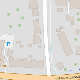
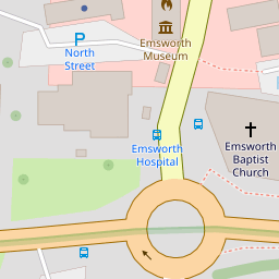
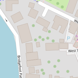
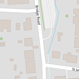

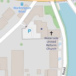
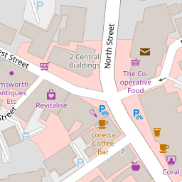

Leaflet © OpenStreetMap contributors
The heatmap indicates the level of crime in the area. The color of the heatmap indicates the crime severity and recency.
Metrics Year-on-Year
- Average area value
- 544,832.00 £Increased by 17.07 %
- Average area rental value
- 1,422.00 £/moIncreased by 21.12 %
- Est rental Yield
- 3.13 %Increased by 3.30 %
- Crime Rate
- 24.00 %Unchanged by 0.00 %
from 465,384.00 £
from 1,174.00 £/mo
from 3.03 %
from 24.00 %
Nearby Schools
| Name | Type | Ofsted | Distance |
|---|---|---|---|
| Glenwood School | Community Special School | Requires improvement | 0.52 KM |
| St James Church Of England Controlled Primary School | Voluntary Controlled School | Good | 1.01 KM |
| Emsworth Primary School | Community School | Good | 1.09 KM |
| The Orchard Children'S Centre | Children's Centre Linked Site | 1.11 KM | |
| Westbourne Primary School | Community School | Good | 2.64 KM |
Images
Nearby Streets
| Name | Average Price | Average Sqft | Distance |
|---|---|---|---|
| Saint Peter's Square | £ 650,000 | 0 | 0.00 KM |
| Harbour Court | £ 0 | 0 | 0.00 KM |
| A27 | £ 0 | 0 | 0.00 KM |
| Boat Storage | £ 0 | 0 | 0.00 KM |
| Dolphin Quay | £ 0 | 0 | 0.00 KM |
Nearby Transport
| Name | NLC | TLC | Distance |
|---|---|---|---|
| Emsworth | 5257 | EMS | 0.40 KM |
| Warblington | 5264 | WBL | 3.22 KM |
| Southbourne | 5263 | SOB | 3.37 KM |
| Havant | 5532 | HAV | 4.81 KM |
| Rowlands Castle | 5658 | RLN | 5.33 KM |
Nearby Listings
| Address | Price | Type | Score | Distance |
|---|---|---|---|---|
| Church Path, Emsworth | £ 350,000 | BUY | 5 / 10 | 0.02 KM |
| Church Path, Emsworth | £ 415,000 | BUY | Unknown | 0.02 KM |
| West Street, Emsworth | £ 575,000 | BUY | 7 / 10 | 0.12 KM |
| West Street, Emsworth, Hampshire | £ 250,000 | BUY | 5 / 10 | 0.12 KM |
| Bridgefoot Path, Emsworth | £ 625,000 | BUY | Unknown | 0.13 KM |
Nearby Properties
| Address | Price | Distance |
|---|---|---|
| 18 Church Path | £ 123,000 | 0.00 KM |
| 17 Church Path | £ 385,000 | 0.00 KM |
| 28 Church Path | £ 350,000 | 0.00 KM |
| 21a Church Path | £ 168,000 | 0.00 KM |
| 14 Church Path | £ 235,000 | 0.00 KM |